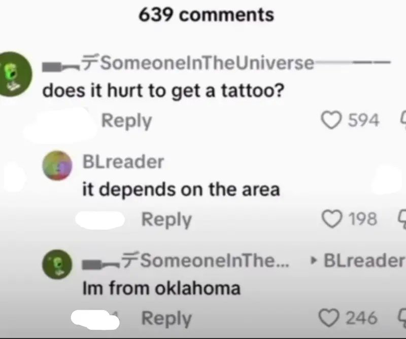
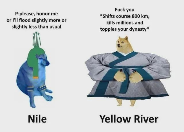
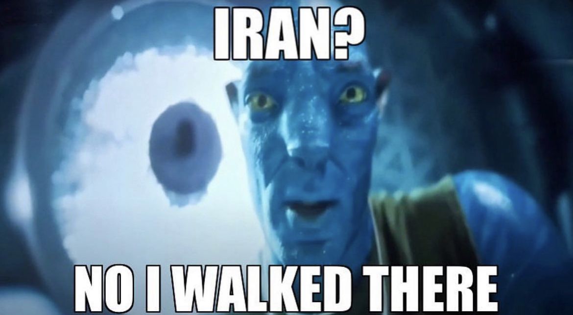
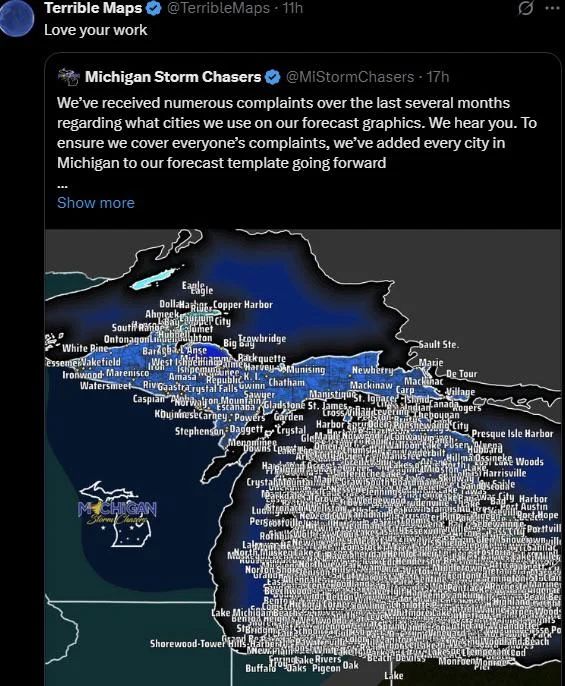
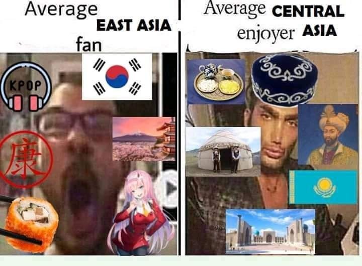
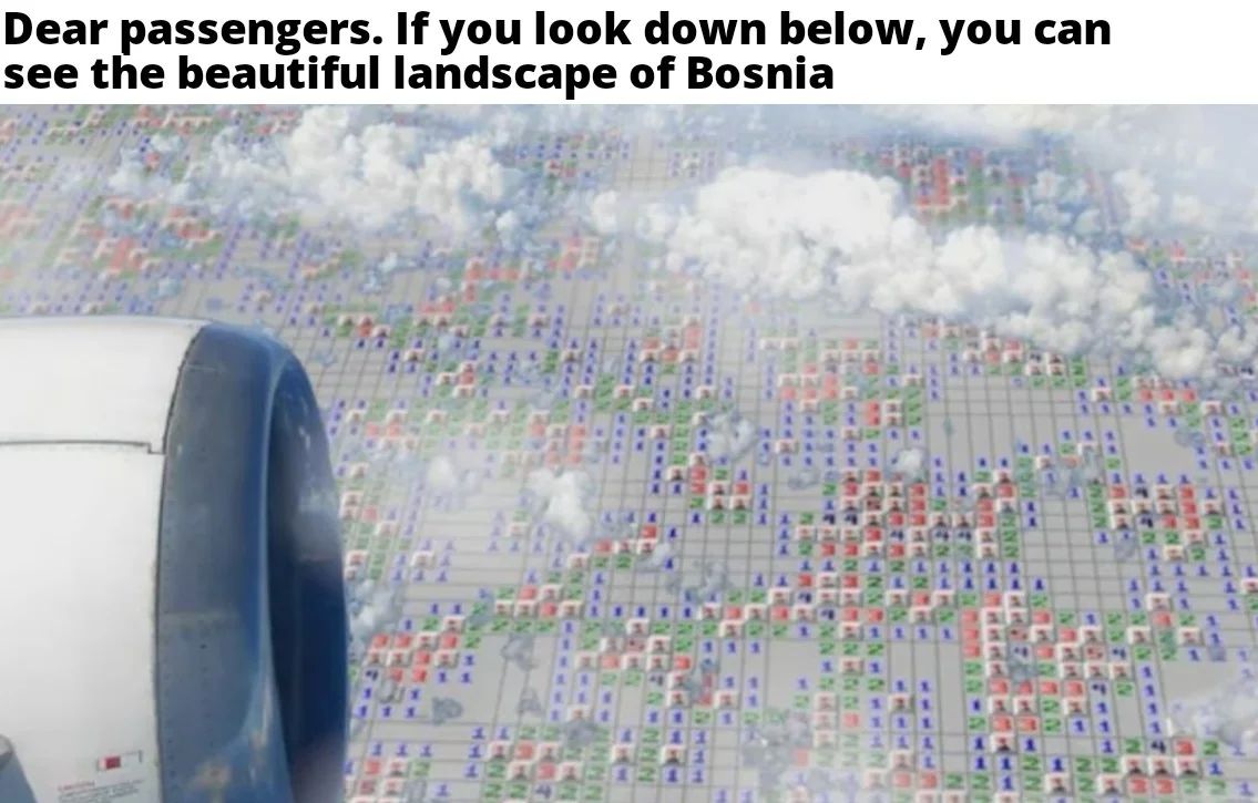
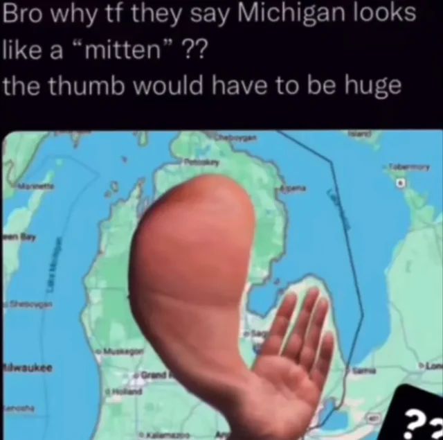
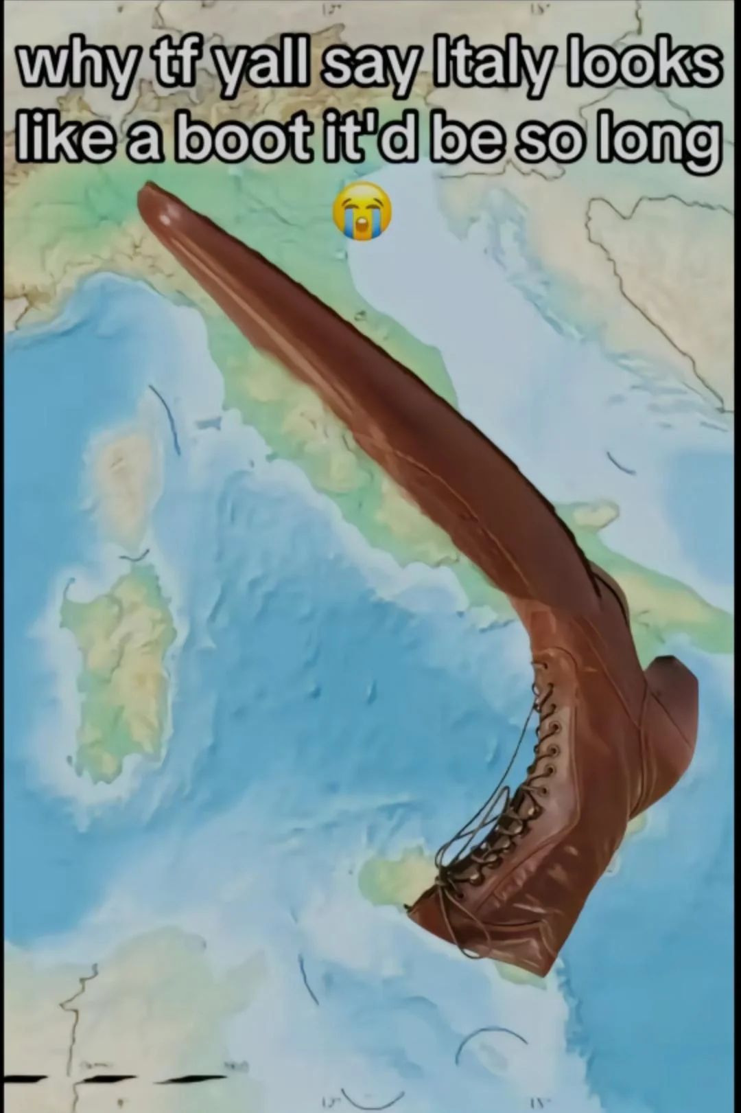
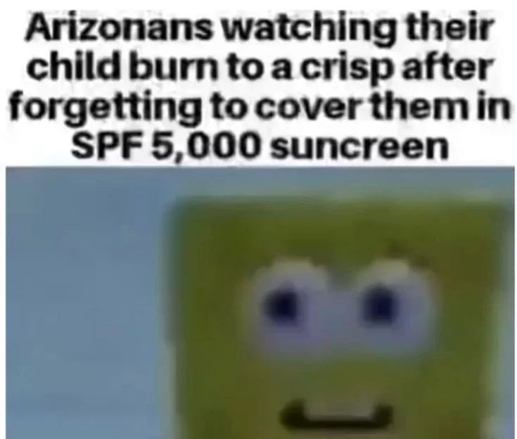
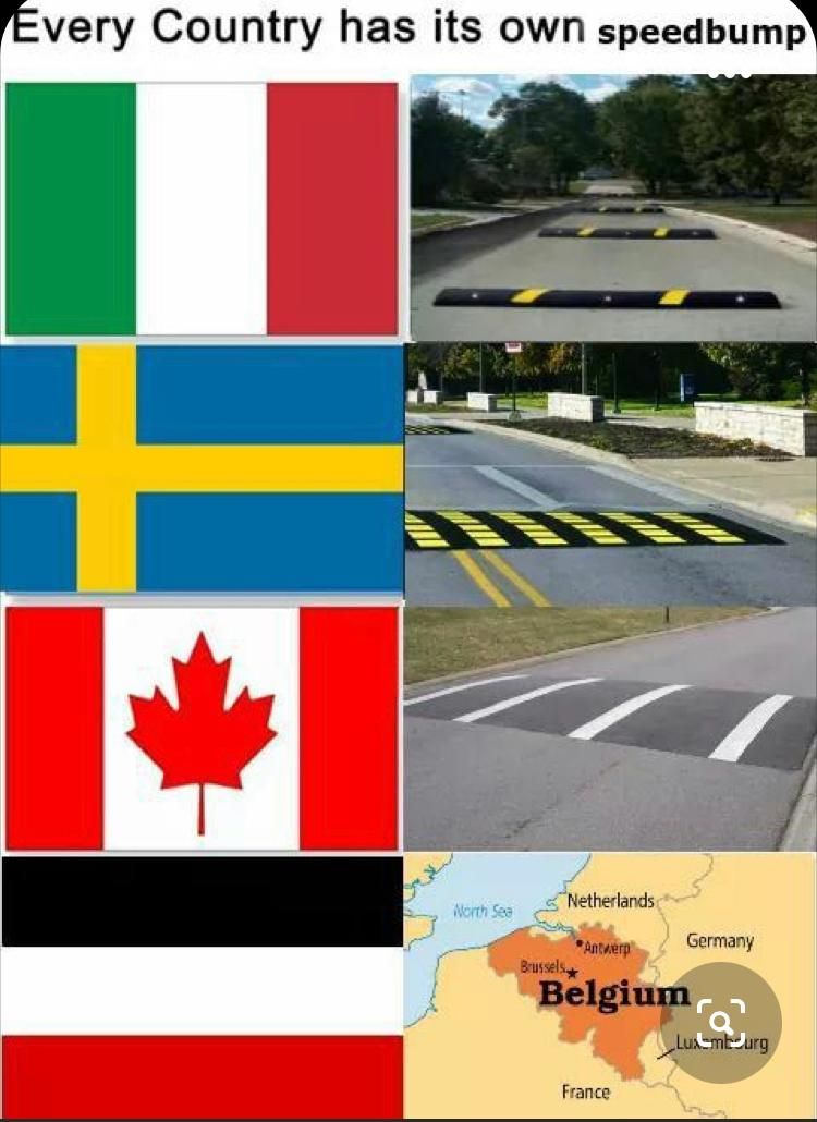
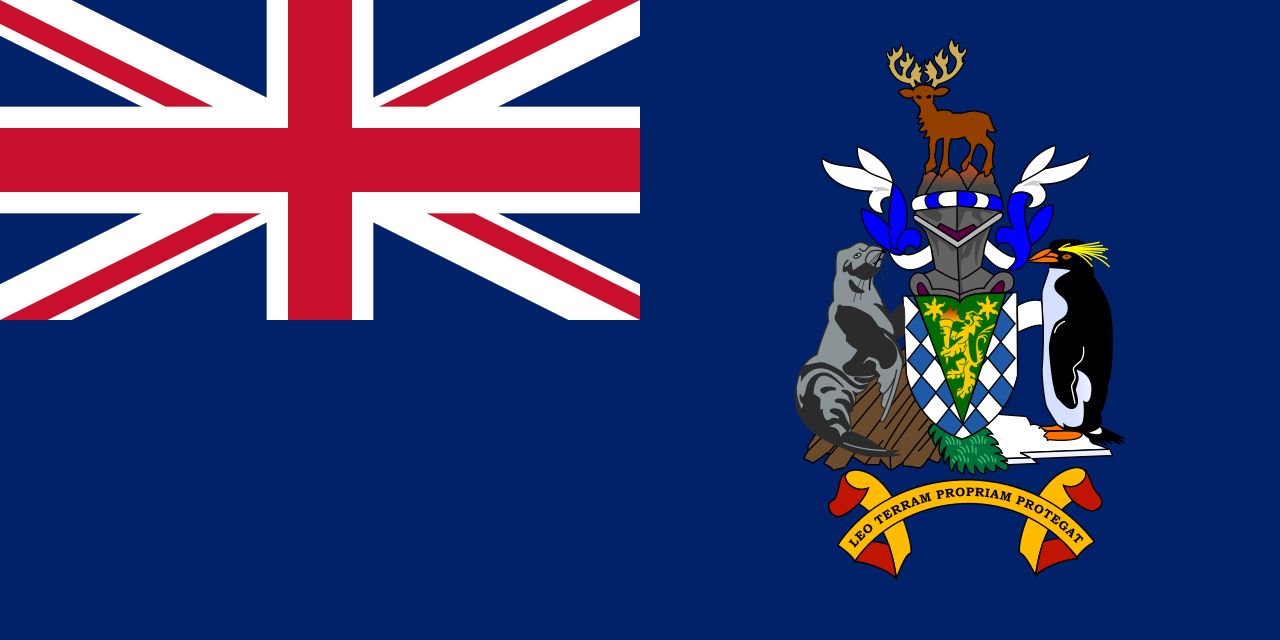
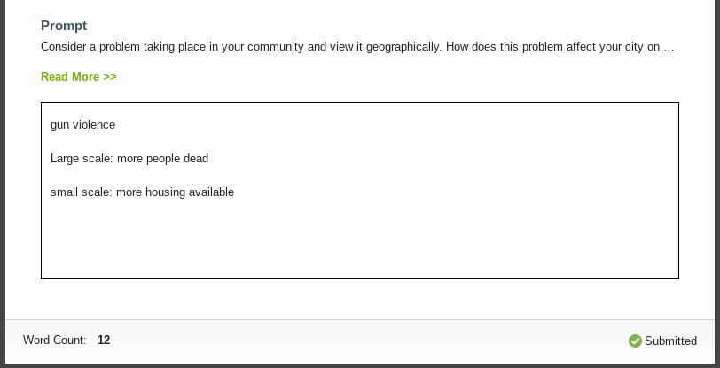
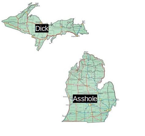
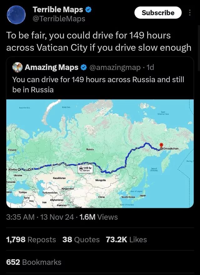
• Jokes
  • Memes
  • Community
  • Categories
  • Explain Bear

Games

  • Crosswords Arena

Popular

  • Twin Towers jokes
  • Orphan jokes
  • Lesbian jokes
  • Priest jokes
  • Morbid jokes
  • Hairline jokes
  • Short jokes
  • Gay jokes
  • Autism jokes
  • 9/11 jokes jokes
  • Suicide jokes
  • Wheelchair jokes
  • Stephen Hawking jokes
  • Flat jokes
  • Kurt Cobain jokes
  • Testicle jokes
  • Sally jokes
  • Incest jokes
  • Clash Royale jokes
  • Tampon jokes
  • All categories
Privacy
Contact
Back
  • Jokes
    734
  • Memes
    34
  • Community
    27
Geography

Geography memes

  • Post meme
  • Best
  • Newest
NikTheBest
3 days ago
A vertical two-panel comparison meme. The left panel, labeled 'Average EAST ASIA fan,' shows the 'Soyjak' face surrounded by images representing East Asian culture: K-Pop headphones, the South Korean flag, Mount Fuji, a Japanese pagoda, a sushi roll, the Chinese character for 'Kang,' and the anime character Zero Two. The right panel, labeled 'Average CENTRAL ASIA enjoyer,' shows the 'Gigachad' face surrounded by images representing Central Asian culture: traditional food, a yurt, a traditional hat, a historical portrait of a ruler, the Kazakhstan flag, and ancient architecture.
  • 0
  • NikTheBest
    3 days ago
    A view from an airplane window, showing part of the engine cowling on the left. Below the aircraft, the ground is depicted as a massive, cloudy grid resembling the layout of the video game Minesweeper, full of numbered tiles and squares, visually representing a minefield. The text caption reads: "Dear passengers. If you look down below, you can see the beautiful landscape of Bosnia".
  • 0
  • Heroin Monkey
    3 months ago
    A meme showing a map of Michigan. Text at the top reads: 'Bro why tf they say Michigan looks like a 'mitten' ?? the thumb would have to be huge'. A Photoshopped hand is placed over the map, with a large, disproportionate thumb covering Michigan's Upper Peninsula and the rest of the hand covering the Lower Peninsula, ironically illustrating the point about the thumb's size.
  • 1
  • Heroin Monkey
    6 months ago
    A signpost points the way to "Goonpiper" which is half a mile away, and "Feock" which is 2 miles away.
  • 0
  • Heroin Monkey
    6 months ago
    A dog's face is shown in an upward-looking shot. Above, the following text is written: "Teacher: Today we will... Kid named the socioeconomic state of Sudan:"
  • 0
  • Anonymous
    8 months ago
    A screenshot of the Wikipedia page for Goochland, Virginia. It includes a photograph of the Goochland County Courthouse, a map showing the location of Goochland in Virginia, and information about the area's geography and population.
  • 0
  • Heroin Monkey
    8 months ago
    A map of Italy is shown with a very long boot photoshopped onto the peninsula. The text reads: "why tf y'all say Italy looks like a boot it'd be so long" with a crying-laughing emoji.
  • 0
  • Anonymous
    9 months ago

    Shitpost-master general

    A close-up of a yellow sponge with a worried expression. Above it, a text overlay reads, "Arizonans watching their child burn to a crisp after forgetting to cover them in SPF 5,000 sunscreen."
  • 0
  • Heroin Monkey
    9 months ago
    The image shows an aerial view of a coastline with a cave. A map pin is placed near the cave, and text next to the pin reads "Backshot cave."
  • 3
  • Swf
    10 months ago
    The image shows four flags of different countries. Next to each flag there is an image of a speed bump from that country. The flags are: Italy, Sweden, Canada and what seems to be a map of Belgium.
  • 1
  • PIT BUM
    10 months ago
    The flag of South Georgia and the South Sandwich Islands. It has a Union Jack in the upper left corner and a coat of arms to the right. The coat of arms features a reindeer, a seal, and a penguin, with the motto "Leo terram propriam protegat" below. The background of the flag is dark blue.
  • 0
  • DAP ME UP
    10 months ago
    The image shows a text box with the following text: Prompt: Consider a problem taking place in your community and view it geographically. How does this problem affect your city on... gun violence. Large scale: more people dead. small scale: more housing available. Word Count: 12, Submitted.
  • 0
  • Heroin Monkey
    1 year ago
    Two tweets are shown in a side by side comparison. The first tweet reads: "To be fair, you could drive for 149 hours across Vatican City if you drive slow enough." The second tweet below the first one reads: "You can drive for 149 hours across Russia and still be in Russia". The second tweet also includes an image of the Russian map with a line of travel highlighted. It shows the route from west to east of Russia and has a text bubble displaying '149 hr'.
  • 0
  • Anonymous
    1 year ago
    The image shows two maps, one of Oman and one of Yemen. Above the map of Oman is written: "Using the Drake format". Above the map of Yemen is written: "Using whatever this is".
  • 0
  • Heroin Monkey
    1 year ago
    The image is a two-part Twitter post. The first is a request from Bosnia and Herzegovina to Croatia for access to the Adriatic Sea, showing a map with the landlocked status of Bosnia and Herzegovina. The second part is a response from Croatia with a picture of Megamind making a pout with the words “NO BEACHES?” written on it.
  • 0
  • big [fire] balls
    1 year ago
    A cartoon showing three panels. The first panel has a platypus sitting on top of the Earth, with the text "Where do platypuses live?". The second panel shows a close-up of the platypus, with a menacing look, over a red background and the text "In the darkest, deepest parts of your soul, feeding on your sins, fears and regrets". The third panel shows a platypus holding a spear and boomerang in a desert with a kangaroo in the background with the text "And Australia".
  • 1
  • Swf
    1 year ago
    The meme shows a screenshot from the game Minecraft. The Nether, a dark and fiery dimension, is in view, and the flag of the Netherlands is placed in the middle. The meme has the text “Geography teacher: what are you laughing at? Me: Nothing. My brain: Netherlands.”
  • 0
  • A
    Ant boi
    1 year ago

    Well the north east is doing something right

    A map of the United States shows "food deserts" in orange, and areas that are not "food deserts" in blue. The map key indicates that "food deserts" refer to Low-Access and Low-Income Census Tracts. The title of the map is "MAPPING FOOD DESERTS IN THE UNITED STATES." Text at the left reads "Food Deserts in America (2010)."
  • 1
  • Unimportant Intelligence
    1 year ago

    screw global warming

    The image shows a landmass with the word "INDIA" superimposed on it. Below this, the text states that India produces 150% more greenhouse gases per capita than the USA. Underneath, it reveals that the image is actually a picture of Africa.
  • 0
  • Unimportant Intelligence
    1 year ago

    tim

    A meme with a sunset background, silhouettes of giraffes and a bare tree. Text at the top says "Did you know?" and text at the bottom says "Every 60 seconds in Africa. A minute passes."
  • 2
    • Next
      • 1
      • 2